Large Scale Topographic Site Surveys
Sustrans View project
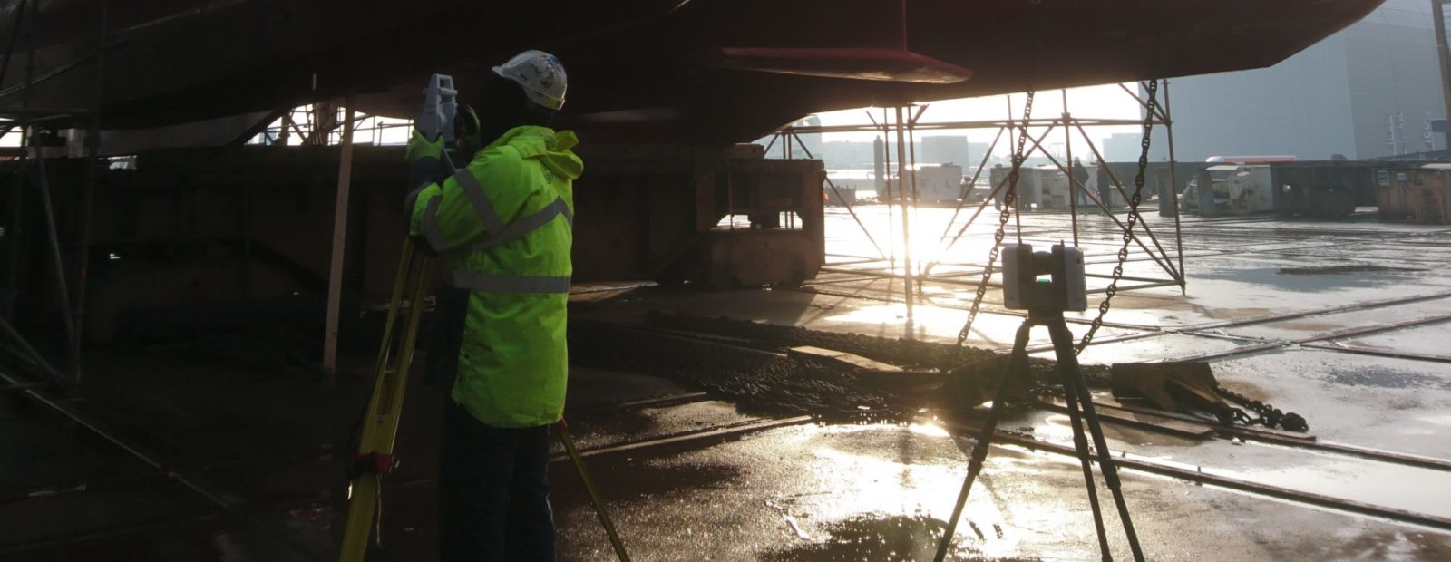
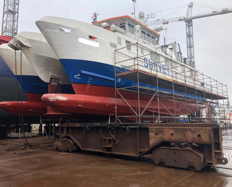
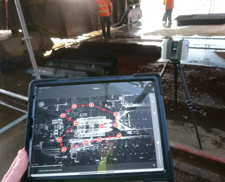
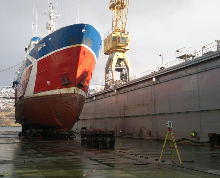
Increasing our portfolio of scanned vessels, GEOSIGHT undertook a high definition laser scan of a survey vessel over in the Dutch Municipality of Harlingen.
The client had requested this vessel to be scanned for the purpose of asset management and future refit functionality with the point cloud allowing dimensions to be defined from all physical assets rather than just the known sensors.
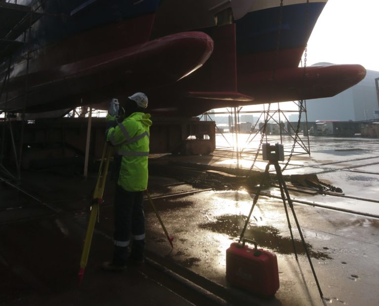
In order to complete the scan, GEOSIGHT used a RTC360 Laser Scanner for both the external and internal hard to reach areas.
Alongside scanning the vessel GEOSIGHT undertook a full vessel Dimensional Control Survey. The combination of both the Laser Scan and Dimensional Control Survey further secures the quality of the survey system for both now and the future.
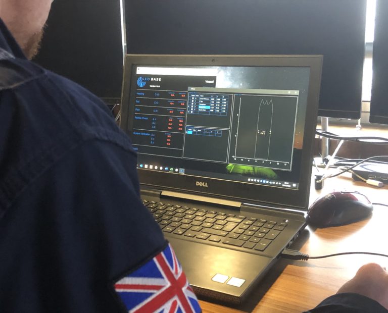
Furthermore, this also provided us with the perfect opportunity to trial run our in house Dimensional Control Software ‘GEOBASE’ which proved to be a great success.
Service: High Definition Laser Scan / Dimensional Control Survey
Purpose of Survey: Asset Management and Survey Sensor Calibration
Client: N/A
Environment: Shipyard
Location: Netherlands
Year: 2020
Timescale: 2 days on site
Equipment: Leica RTC360, Leica TS16 Total Station
Output: Unified Point Cloud, Full Dimensional Control Report, .dwg Model
Vessel Dimension Control Surveys, Vessel Sensor Calibration Surveys, 3D Laser Scan Surveys/Vessel Information Modelling (VIM).
Ports and Harbour Surveys / Nearshore and Inland Waterway Surveys / Mobilisation and Support Services / Marine Project Management and Consultancy