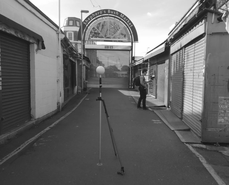
Shepherd’s Bush Market Laser Scanning
U+I Group Plc View project
Client: Van Oord Offshore Wind
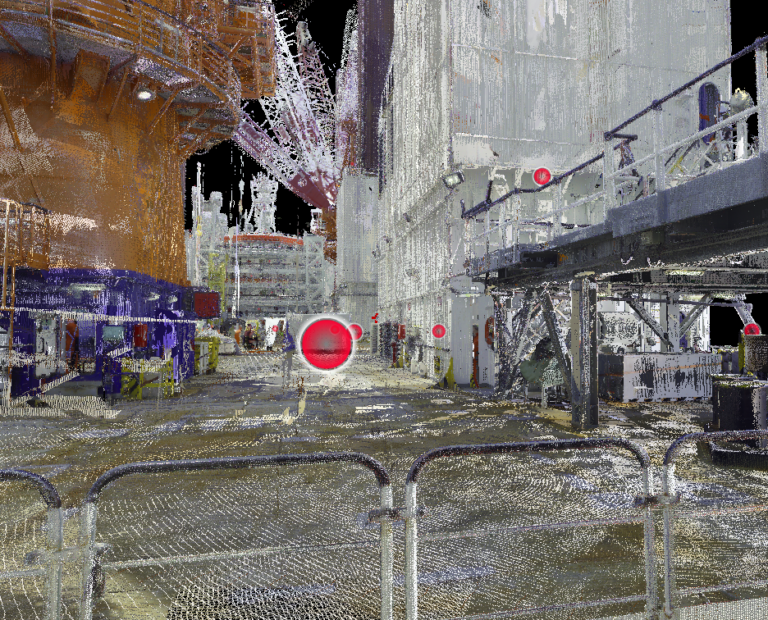
Summary: Jack-up construction vessels are mobilised to a specific project and are required to have a variety of different assets fixed to the working decks. Having a fully digitised model, including a point cloud, 360 photos and CAD model, allows for the planning of deck arrangements to be done in advance of vessel docking and therefore provides significant cost and time savings.
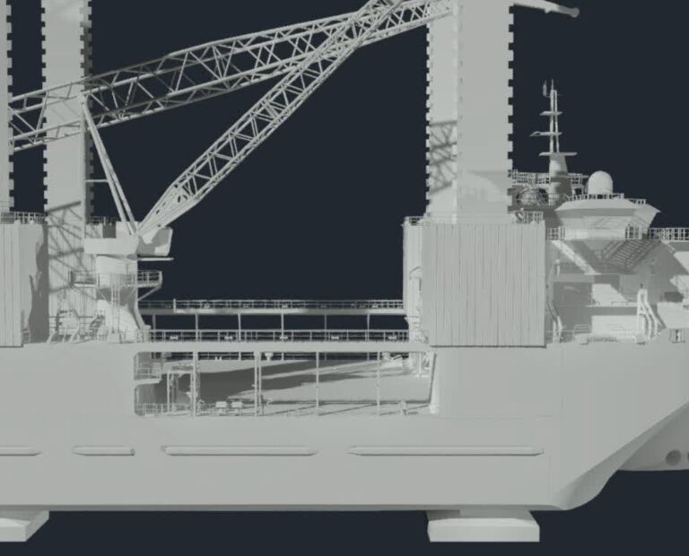
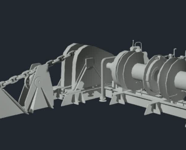
Scope of Work: Attend the vessels and undertake full laser scan of the external vessel hull, superstructure and deck features. From this, construct a detailed CAD model.
Deliverables: point cloud, panoramic photos, CAD model.
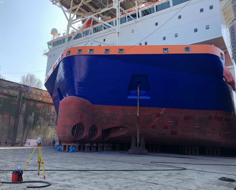
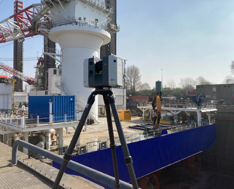
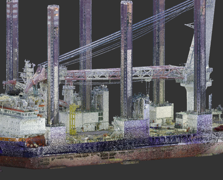
GEOSIGHT was instructed to attend MPI Adventure whilst in dry dock in The Netherlands to undertake a full external scan of the vessel. The main focus for data capture was on the working operations areas around the aft deck. For completeness however, the superstructure and hull were also documented.
The survey was undertaken using a Leica RTC360 terrestrial laser scanner for the bulk of the data capture and a Leica MS60 multi-station to provide the control network and additional scanning capabilities.
Office processing and modelling was undertaken by our surveyors and in house CAD team, allowing for efficient communication with the client during all stages of the project.
Following on from the success with MPI Adventure, GEOSIGHT undertook the same exercise onboard MPI Resolution and is now working on further similar projects.