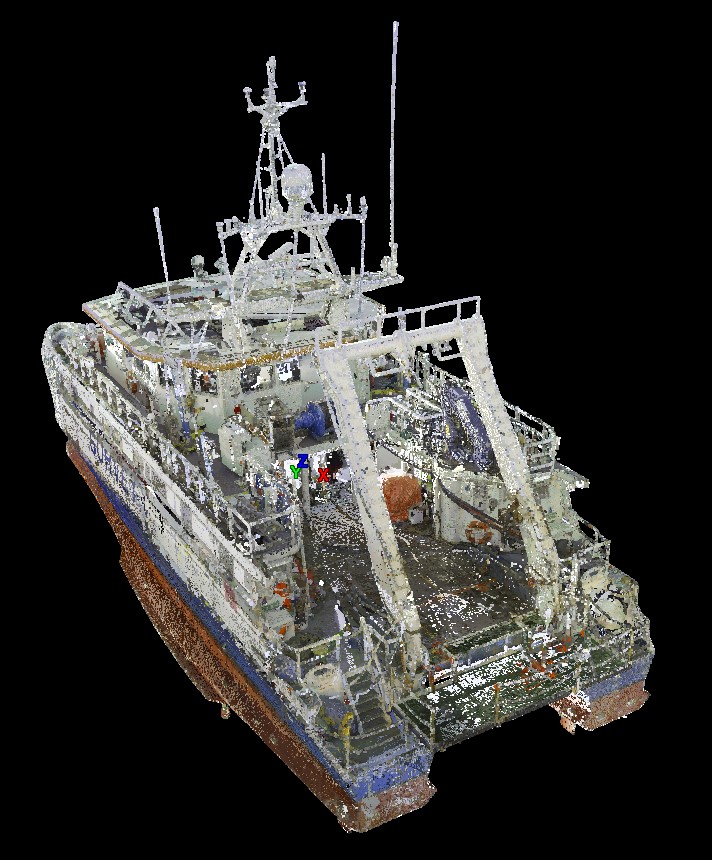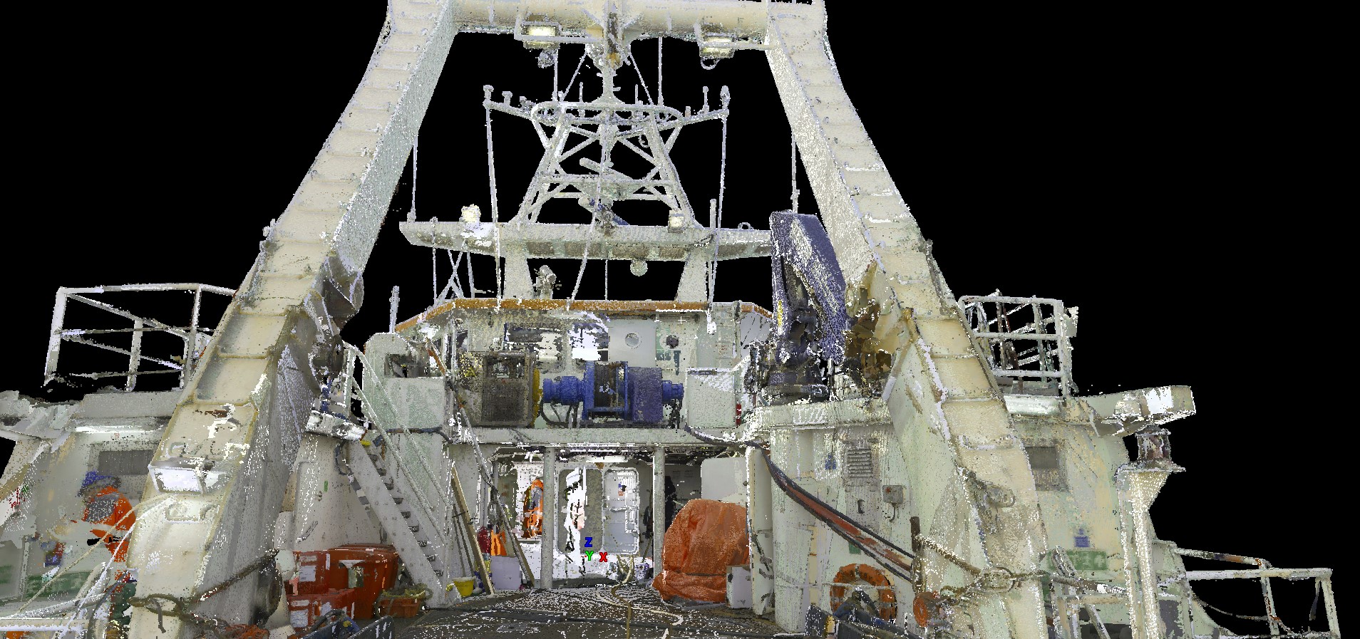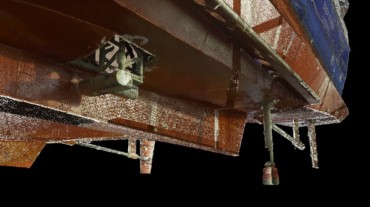
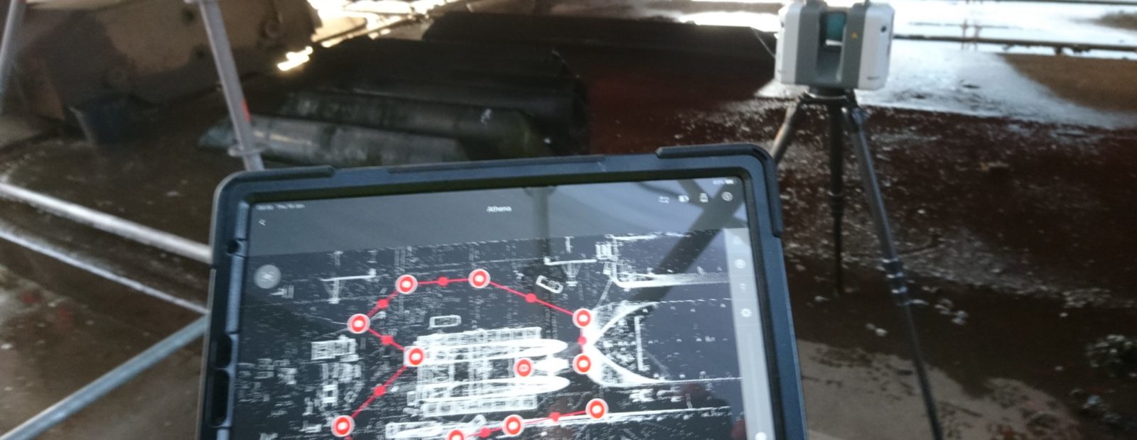
Increasing our portfolio of scanned vessels, GEOSIGHT undertook a high definition laser scan of a survey vessel over in the Dutch Municipality of Harlingen.
The client had requested this vessel to be scanned for the purpose of asset management and future refit functionality with the point cloud allowing dimensions to be defined from all physical assets rather than just the known sensors.
GEOSIGHT also undertook a full vessel Dimensional Control Survey, with he combination of both the Laser Scan and Dimensional Control Survey further secures the quality of the survey system for both now and the future.
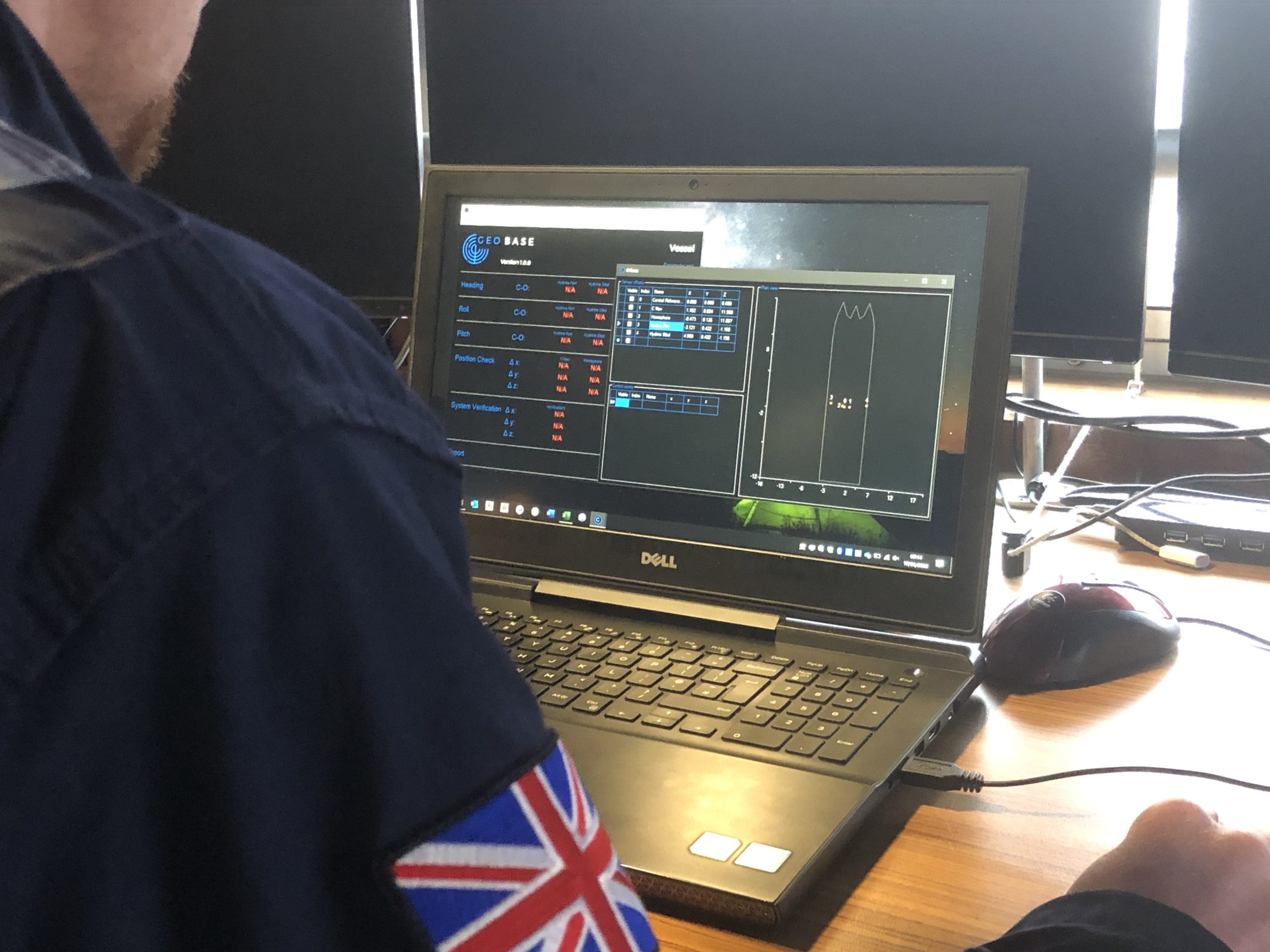
Furthermore, this also provided us with the perfect opportunity to trial run our in house Dimensional Control Software ‘GEOBASE’ which proved to be a great success.
For more information, visit Complete Vessel Point Cloud & Dimensional Control Survey Case Study