GEOSIGHT have the in-house capability to deliver and produce an accurate digital representation of any building or structural feature to a Building Information Modelling (BIM) compatible format
What is 3D Scan to BIM
Building Information Modelling allows for a highly collaborative process that allows multiple stakeholders access to the planning, design and construction of a building within one 3D model.
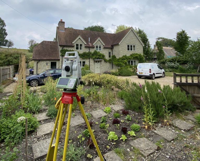
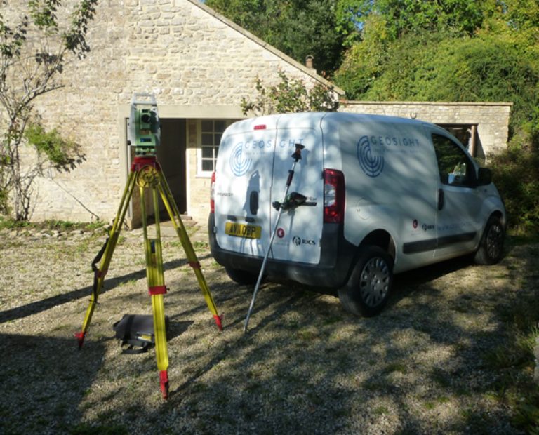
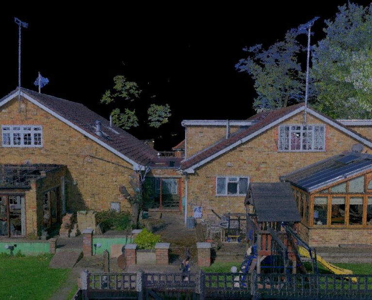
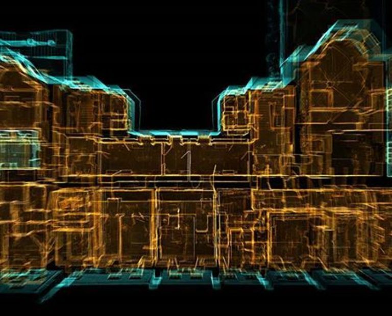
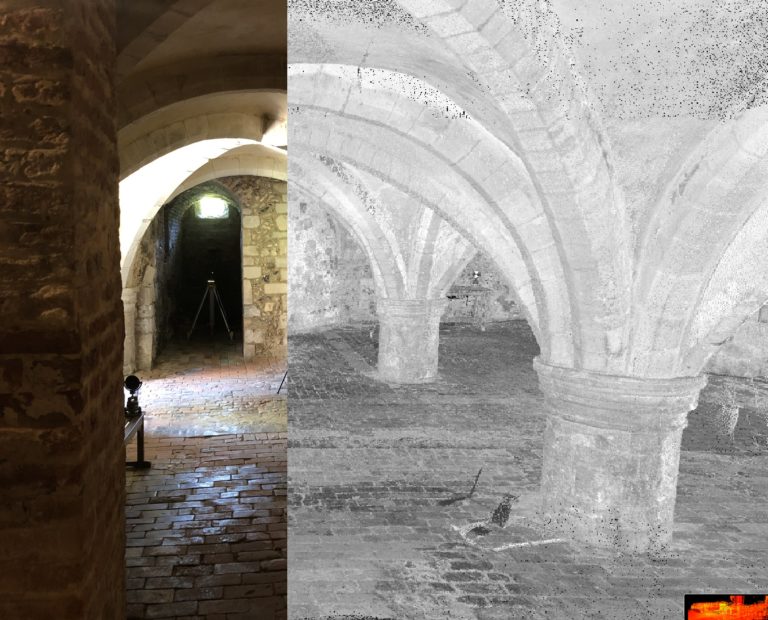
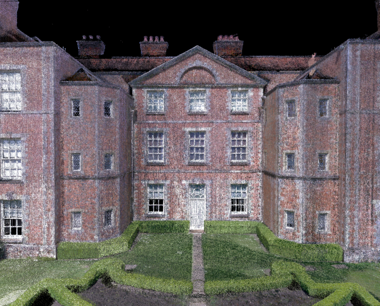
Our survey techniques involve the capture of high-density 3D point cloud data using laser scanning technology, ensuring every detail is captured. Point cloud data is then processed and used to generate a 3D model containing as many or as few layers of architectural detail as required for your purposes.
Benefits of BIM
3D laser scanning allows GEOSIGHT to collect the as-is conditions on a site project quickly and efficiently and in-turn provide both accurate and up-to-date data to those involved in the design process of a build.
BIM is then used to verify as-built models, monitor progress on a project, create as-built models for existing structures or to augment missing design data.
Scan to BIM allows you to create a highly accurate three-dimensional digital representation of your building – in a reduced amount of time, it also removes a large degree of human error from traditional as-built processes. Further benefits includes faster sharing of data, and in most cases, any given site would only need to be visited once to collect all of the necessary data.
Get in touch for a 3D Scan to BIM Survey
If you would like some advice or would like a quote for an upcoming project then please get in touch.
-

Topographic Survey
If you need highly reliable topographical drawings for small to large projects, then GEOSIGHT is ideally suited to providing all your needs.
-
Measured Building Survey
A measured building survey (MBS) is a detailed and accurate survey of a building to include all architectural features and structural elements.