
Since joining GEOSIGHT 8 months ago I have had the opportunity to develop skills in a range of disciplines which highlight the variety work that GEOSIGHT undertake. There are currently two main divisions within GEOSIGHT; Land Division and Hydrographic Division. Led by their respective Survey Managers and within our new open plan office there is clear collaboration between divisions which provides employees with exposure to both sides of the business.
Land Surveying
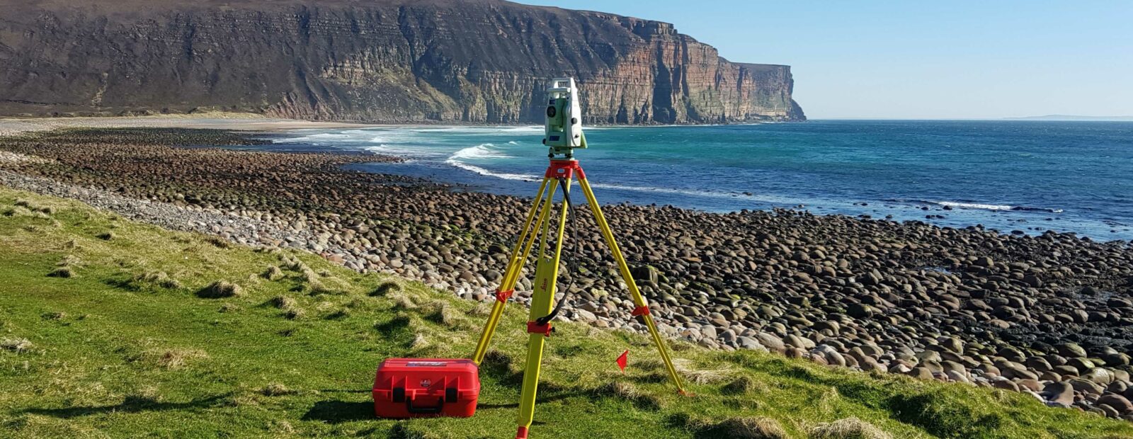
As a Land Surveyor the majority of my work has originated from the Land Division with most work in the form of laser scanning using GEOSIGHT’s own Leica BLK360 and RTC360 scanners to produce measured building surveys i.e. creating floor plans, elevations and sections of multi-occupancy buildings. The scans are imported into Leica Cyclone REGISTER 360 PLUS and exported as an .e57 point cloud for use in BricsCAD. HDS (High Definition Scanning) targets are used as control for the scans which are also shot using a Total Station. I have also undertaken multiple topographic surveys both as part of a team and independently using Total Stations and GNSS rovers, these surveys have been processed using n4ce and BricsCAD software. I have combined the above skills to produce 3D topographic surveys from point clouds using n4ce Professional. In addition, I have also assisted in the collection of topographic data for use in property boundary surveys as part of boundary disputes and provided civil engineering services by ‘setting out’ for housing developments and using a digital level to monitor embankments.
Hydrographic/Marine Surveying
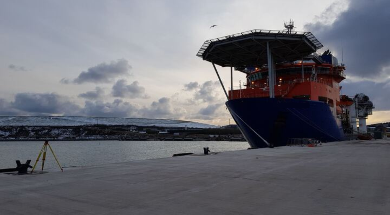
GEOSIGHT has a deep understanding of Hydrographic/Marine surveys of which I have also had the opportunity to become involved in. I have assisted in undertaking Dimensional Control surveys of Hydrographic Survey Vessels; these surveys accurately position components of the vessel and then calibrate sensors so that bathymetric data they collect is accurate. Many of GEOSIGHT’s ‘Dim Cons’ take place overseas and provide an opportunity to visit new countries, if only to their respective air/seaports.
Recently, I was given the opportunity to attend a training course in the South of France run by IVM Technologies. This involved the capturing and processing of underwater photogrammetry. Their specialist camera unit was attached to an ROV (Remotely Operated Vehicle) which was then flown around objects in a test tank. The captured data was then processed using Agisoft Metashape software to produce 3D models of these objects. This technology has the potential to revolutionise underwater inspections which have previously been completed by recording video footage of the asset which is typically limited to times of low turbidity i.e. good underwater visibility.
Training within GEOSIGHT
I have found that GEOSIGHT are keen to level up new and existing employees through both external and internal training. One example of this internal training is our ‘lunch and learn’ initiative whereby senior members of the company present to the rest of the team on a topic of their choosing, it is a great way to share knowledge and can count towards CPD (Continued Professional Development). GEOSIGHT thoroughly encourage staff to gain membership of relevant institutions, for example I am currently working towards becoming a Member of CICES (Chartered Institution of Civil Engineering Surveyors) and have recently signed off numerous competencies to reflect my experience to date.
In my 8 months working at GEOSIGHT it is clear the company offers a variety of interesting work within multi-disciplined divisions, providing the opportunity to work abroad and encouraging development of new and existing staff. The future of GEOSIGHT looks promising!
Author: Billy Miness, Land Surveyor
![]() Interested in finding out more? Follow GEOSIGHT on LinkedIn here: https://www.linkedin.com/company/geosight-ltd
Interested in finding out more? Follow GEOSIGHT on LinkedIn here: https://www.linkedin.com/company/geosight-ltd
![]() Want to see snippets of what we get up to? Follow GEOSIGHT on Instagram here: https://www.instagram.com/geosight/
Want to see snippets of what we get up to? Follow GEOSIGHT on Instagram here: https://www.instagram.com/geosight/
