Boundary Survey Case Study
Non-Disclosed Client View project
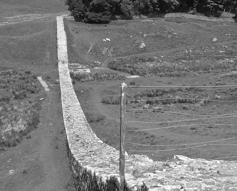
In England and Wales boundary lines and the owners of boundary features (hedges, trees, fences, walls, etc.) are not accurately recorded. The approximate position is shown on Ordnance Survey maps, but they are prevented by law of showing actual boundaries. Title deeds are based on OS maps, and so the red lines showing the outline of a property are only indications to the extent of property, not an accurate, measured detail. This situation works for the most time as people accept where boundaries lay, however it also gives scope for disagreement between owners if each parties opinion as to the location of the boundary is called into question.
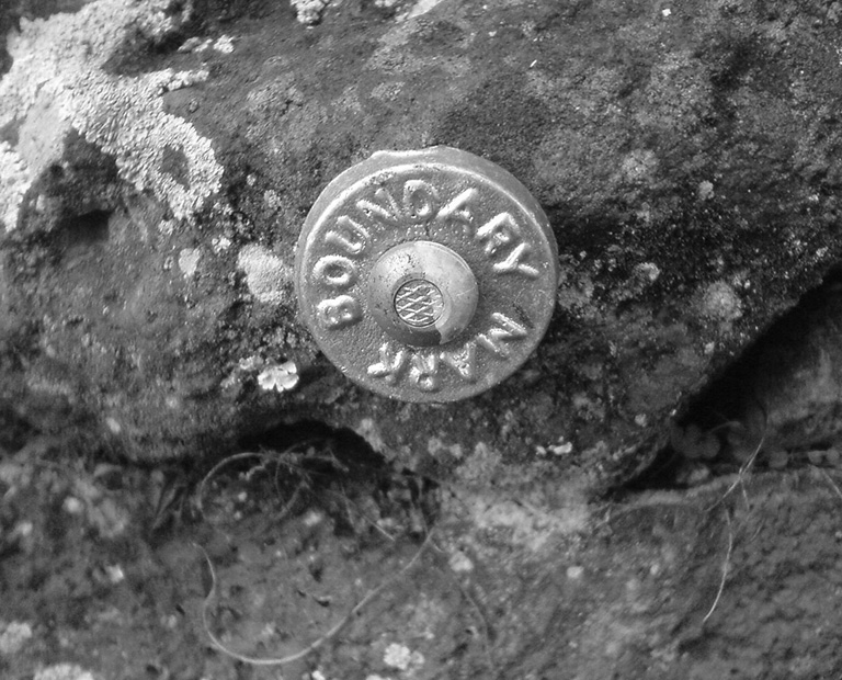
Sometimes GEOSIGHT is involved in accurately plotting the position of an existing boundary and then creating a dimensioned drawing and report for a Determined Boundary application. This service registers the boundary with the national Land Registry, enabling the boundary line to be recreated in the future if ever the exiting boundary features fall into disrepair and a dispute arises over their location.
It is sadly often the case that two neighbours disagree as to the precise whereabouts of a boundary line. Over time these lines often move as fences and walls are erected and then fall down, hedges grow, owners move. GEOSIGHT is engaged to plot the position of existing boundary features and give an independent expert opinion (favouring no single party, regardless of who has engaged our services) on where the originally intended boundary line should have been. It is then down to the current owners to resolve the issue.
In some cases, the question of the boundary line position can be resolved amicably. Where this fails GEOSIGHT can be called on to arbitrate between the parties in dispute to provide a binding decision. A report is produced, and usually a Determined Boundary application is made to prevent the situation arising again.
When all other methods fail to resolve differences, solicitors are retained, and the matter goes to court. Here a judge will consider all sides of a case and give a ruling on where the boundary must sit. GEOSIGHT can be retained to provide an independent expert witness report physically to the court, favouring neither side of the argument, but providing the court with an expert opinion. Only the judge can then make a binding resolution.
Service: Boundary Surveys
Purpose of Survey: To accurately plot the position of existing boundary features; to give an opinion on where the original boundary may have been; to provide support to property owners, and to give expert witness services to courts.
Equipment: Leica TS12 Total Station, Leica GX1230 GG GNSS Receiver, Leica Precision 360 & Circular Prism
Output: 2D DWG, PDF