Broadwater Park Topographic Survey in Surrey
Waverley Borough Council View project
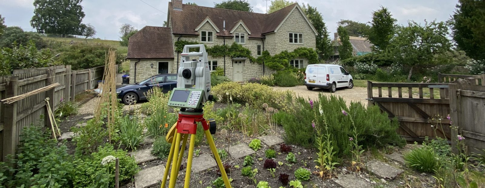
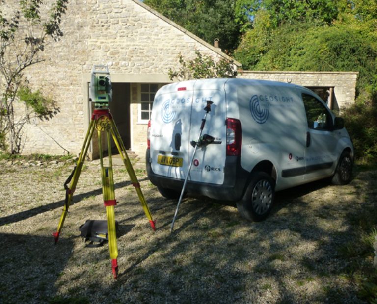
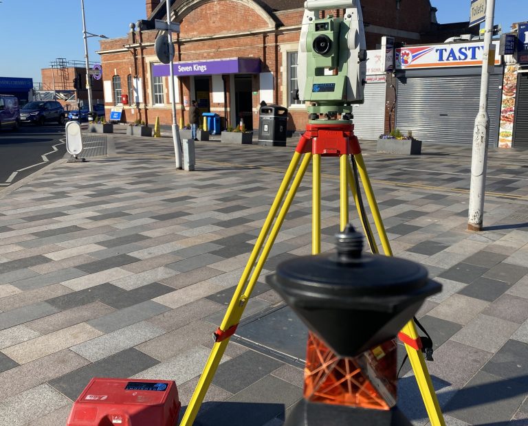
If you need highly reliable topographical plans and CAD models for projects ranging from small residential plots to large highway surveys, then GEOSIGHT is ideally suited to providing all your needs. With our broad range of skills, experience and equipment in house, we have the capability to cover all your requirements.
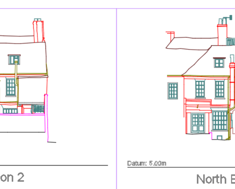
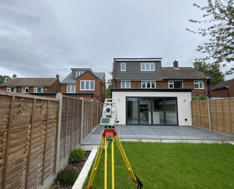
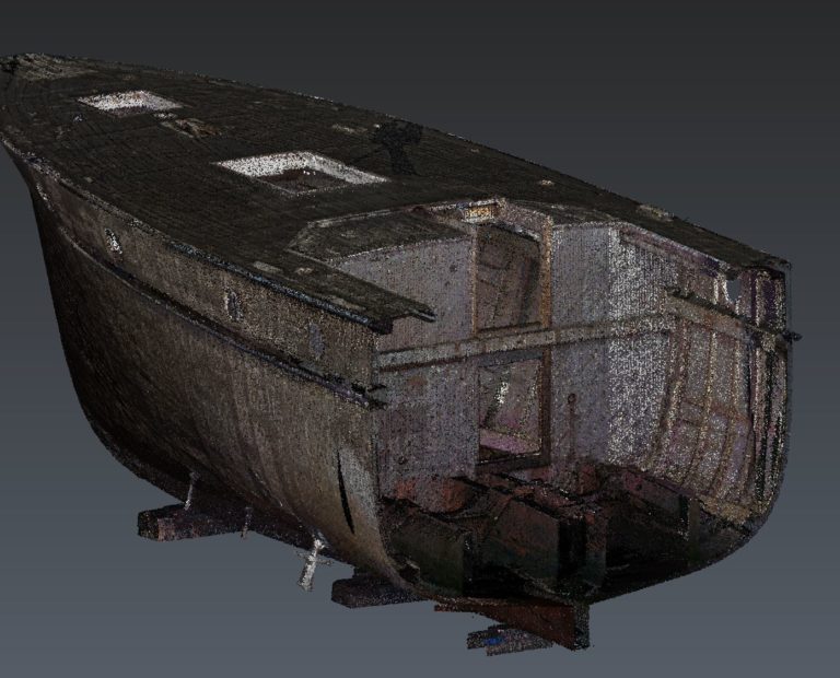
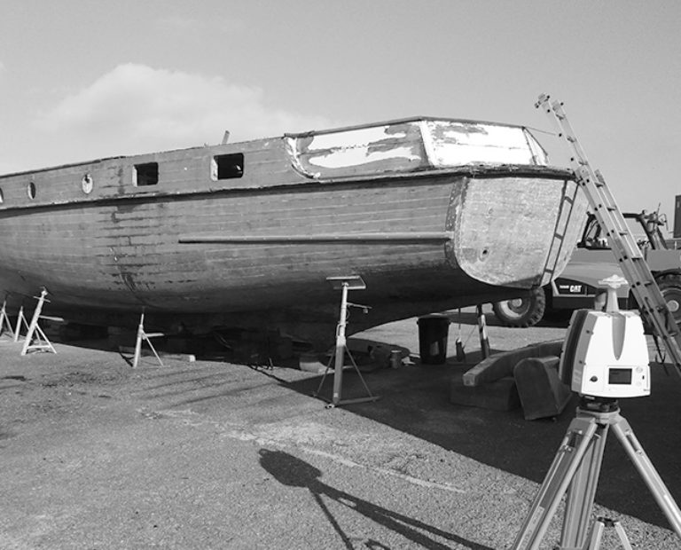
Topographic and Measured Building Survey PDF Flyer Contact UsGEOSIGHT Measured Building Surveys (MBS) can include internal and external building elevations, cross sections and roof and floor plans. MBS are undertaken using advanced surveying methods including total stations, laser scanners and advanced photogrammetric techniques to produce drawings of complex internal features including structural openings, fixed furniture and appliances, doors, windows, overhead beams and also complex external building and structural elevations.
We tailor our MBS surveys to your requirements and provide as many or as few layers of architectural detail as required for your purposes.
Topographic and Measured Building Survey PDF Flyer Contact Us
GEOSIGHT also have the in-house capability to deliver measured building surveys in a BIM-compatible format. Our survey techniques involve the capture of high-density 3D point cloud data using laser scanning technology, ensuring every detail is captured. Point cloud data is then processed and used to generate 3D model containing as many or as few layers of architectural detail as required for your purposes.
Contact Us
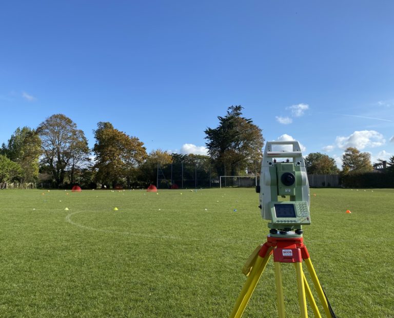
Our surveyors have a wealth of knowledge and experience when it comes to supporting the construction industry. Accurately positioning and recording of features both above and below ground becomes key to a smoothly run project.
Contact Us
The importance of getting structural elements in exactly the right place cannot be underestimated. GEOSIGHT can offer a comprehensive setting out service to ensure that you only dig or build once, saving costs in the long run.
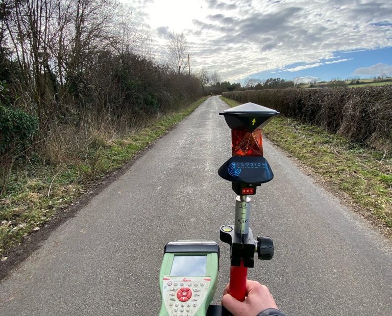
Contact UsGEOSIGHT offer an integrated movement monitoring service enabling engineers to monitor and model the built and dynamic natural environment. We have experience in undertaking monitoring surveys to identify the settlement of buildings, deformation of civil structures and the movement of natural features to the highest order of accuracy, using precision survey instruments such as digital levels, high accuracy reflectorless total stations, and where practicable RTK GNSS.
We can detect and map small changes in the vertical and horizontal movement of features and provide full 3D XYZ coordinate differences in both real-time or over longer time periods to identify changes and trends. Each monitoring programme that we undertake is designed specifically for the required duration, sensor type, measurement frequency, accuracy and reporting format.
Contact Us
Waverley Borough Council View project
Southampton Marine Services View project
Sustrans View project