Viking Link Project
View project
GEOSIGHT were delighted when they were approached by Wessex Archaeology to assist with a hydrographic survey off the South coast of England. Wessex Archaeology required hydrographic surveyors to help support their team of geophysicists, with the deliverables required by GEOSIGHT as follows:
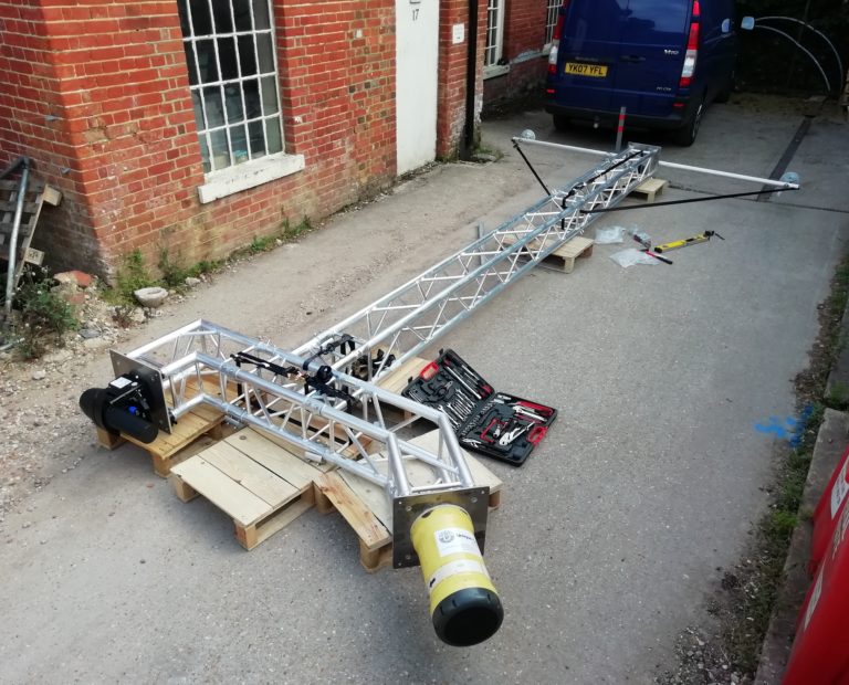
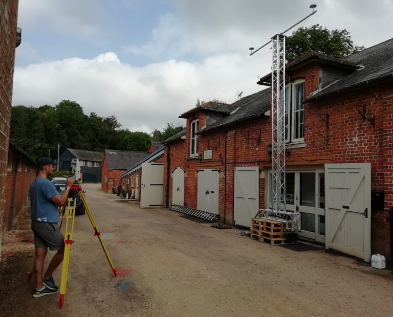
GEOSIGHT were given the additional challenge of mounting their survey equipment to a chartered vessel without any permanent fixtures. After a lot of head scratching, the GEOSIGHT team sourced a framework that would allow for a dimensional control survey of the equipment without installing them to the vessel.
After mobilising the framework and equipment to the chartered vessel, GEOSIGHT conducted calibrations including:
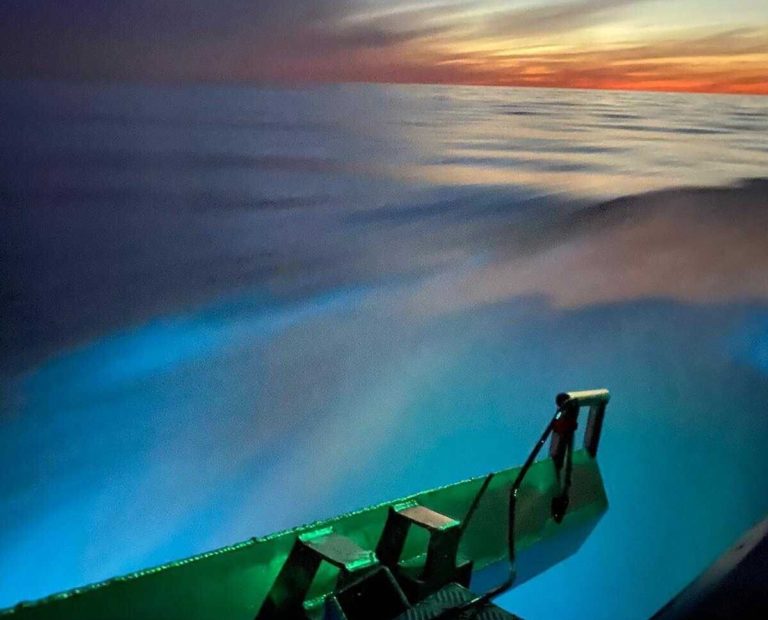
With the mobilisation and calibrations complete, the high-resolution multi-beam system quickly mapped the site and surrounding area, of which GEOSIGHT located several potential points of interest. GEOSIGHT and Wessex Archaeology worked tirelessly together, which resulted in completing the project on schedule and on budget.
Service: Hydrographic Survey and subsea positioning
Purpose of Survey: Map a historic site and locate any further points of interest.
Client: Wessex Archaeology
Environment: Offshore Geophysical Survey
Location: United Kingdom
Year: 2019
Timescale: 4 days
Equipment: Norbit iWBMS, POS MV Wavemaster motion and positioning unit, Valeport Mini SVS and Mini SVP, Sonardyne Ranger 1 USBL, QPS QINSy Online Software, QPS Qimera Processing Software
Output: Geotiff of site, Gridded and Un-gridded bathymetry data