Hydrographic Survey of Historic Site
Wessex Archaeology View project
GEOSIGHT are delighted to announce the successful completion of their involvement with the Viking Link interconnector cable route survey engineering project.
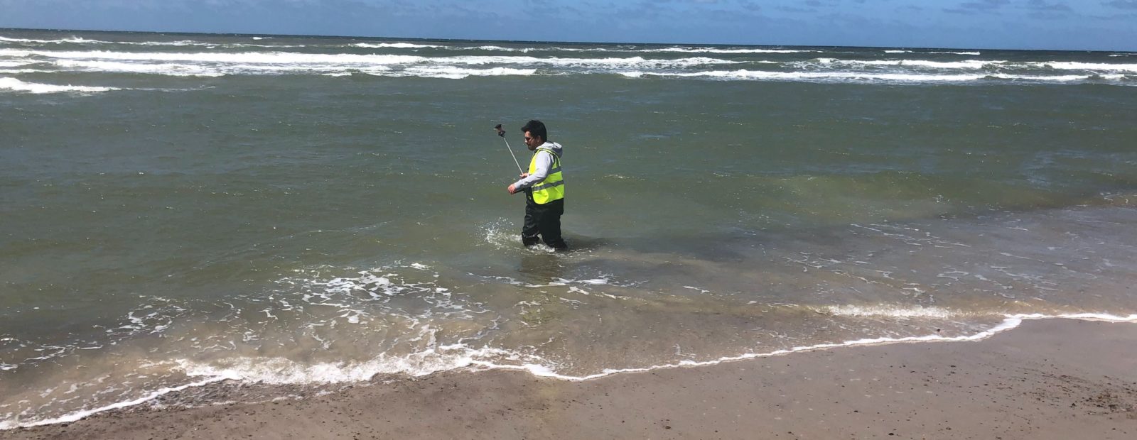
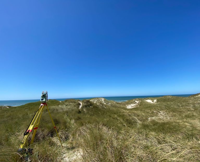
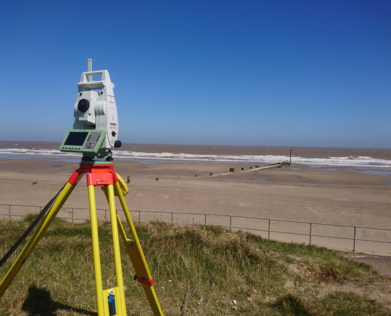
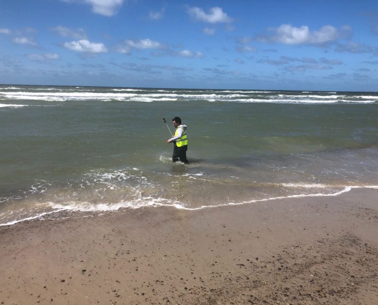
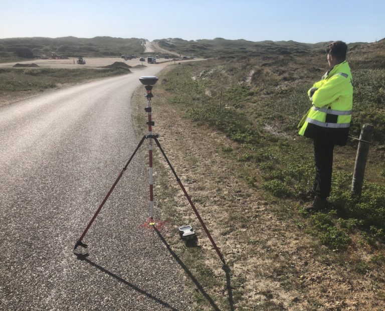
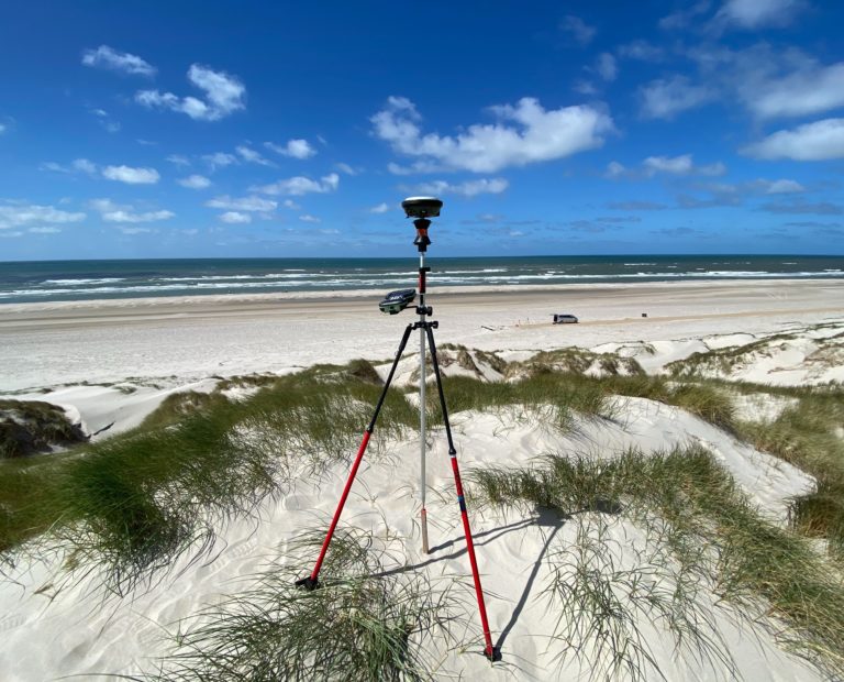
Over the past 6 weeks GEOSIGHT have provided a comprehensive suite of survey services to support Next Geosolutions with their contract to survey a proposed cable route corridor which extends from the UK east coast to the west coast of Denmark on behalf of the National Grid and Energinet. The GEOSIGHT input included three core survey competencies of which GEOSIGHT are proud to specialise: Vessel Dimensional Control, topographic survey and nearshore hydrographic survey.
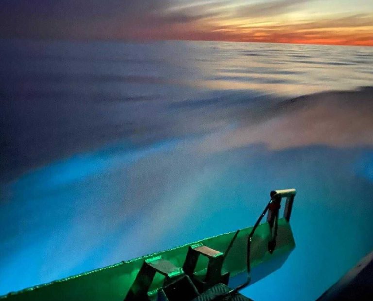
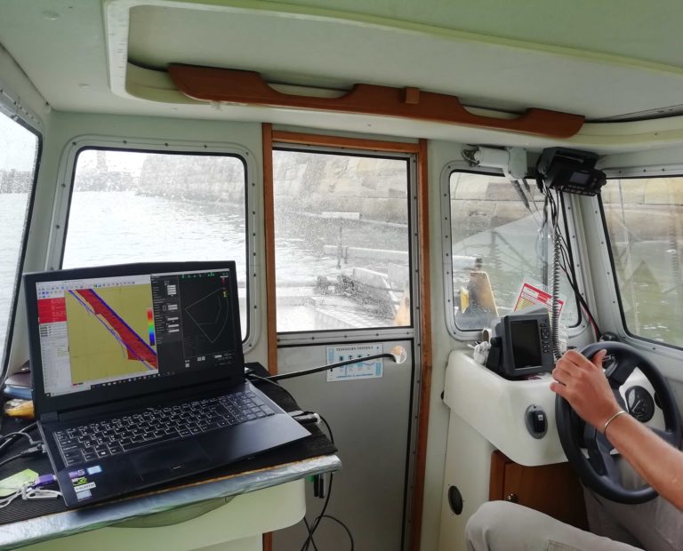
The UK side of operations was concluded first, and included three Dimensional Control Surveys on the offshore survey vessels Ievoli Amber, Roxanne Z and Mintis. Taking advantage of GEOSIGHT’s land and marine survey capabilities, Next Geosolutions also engaged GEOSIGHT to complete the nearshore survey operations in the UK and Denmark to guarantee a continuous data set from sea to land. This included the mobilisation of the nearshore vessel Breakwater, and the use of our Norbit iWBMS.
Overall this was a challenging and enjoyable survey project, carried out on two exposed coastlines, and requiring a collaborative effort between both land and hydrographic surveyors and vessel skippers to maximise optimal weather conditions in order to achieve a high quality data overlap between hydrographic and topographic data.
However, this was not always an easy task given the mobile nature of the seabed, with multiple, shallow sand bars creating significant obstacles as well as soft sand dunes and undulating ground as the extents stretched 200m beyond the cable landfall position over a 100m survey corridor.
Service: Dimensional Control, Bathymetric Survey, Topographic Survey
Purpose of Survey: Survey of Nearshore Element of Cable Lay Survey in UK and Denmark
Client: Next Geosolutions
Environment: Nearshore and Inland Beach Survey Sites
Location: Sutton-on-Sea, Lincolnshire, UK. Houstrup Strand, Jutland, Denmark
Year: 2020
Timescale: 10 Days
Equipment: Leica TS16 Total Station, Leica TS12 Total Station, Leica 1202 Total Station, Leica GS16 GNSS, SBS Breakwater Charter Vessel, Norbit iWBM Multibeam, Beamworx Acquisition
Output: .dwg Model, PDF, CSV, TIFF
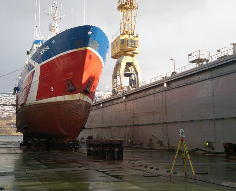
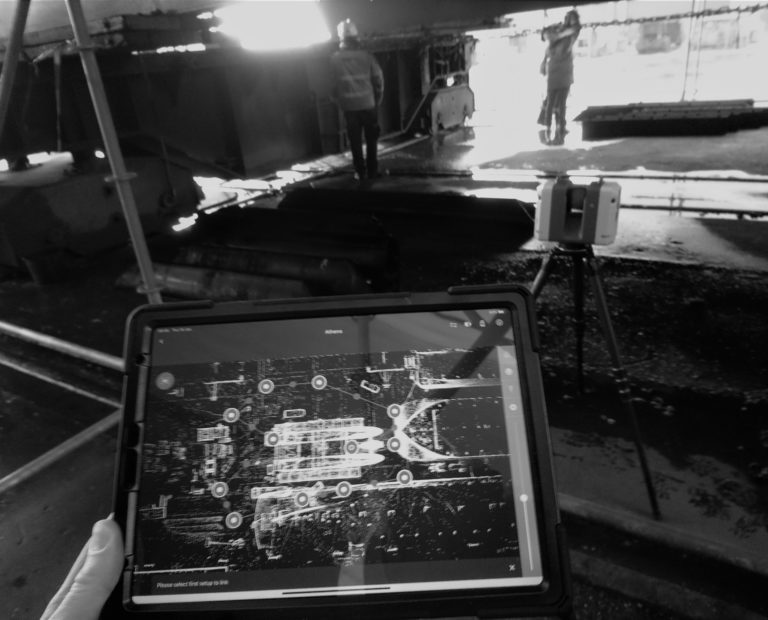
Vessel Dimension Control Surveys, Vessel Sensor Calibration Surveys, 3D Laser Scan Surveys/Vessel Information Modelling (VIM).
Experts in conducting inland and nearshore hydrographic survey projects alongside providing project management & consultancy services.