Hydrographic Survey of Historic Site
Wessex Archaeology View project
GEOSIGHT were commissioned to assist with ongoing maintenance work on failing harbour walls in the north of England. Having previously used laser scanners to map the harbour walls above the waterline, GEOSIGHT were asked to provide a detailed data set from the seabed continuing up the harbour wall footings and ending at the waterline.
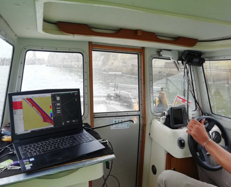
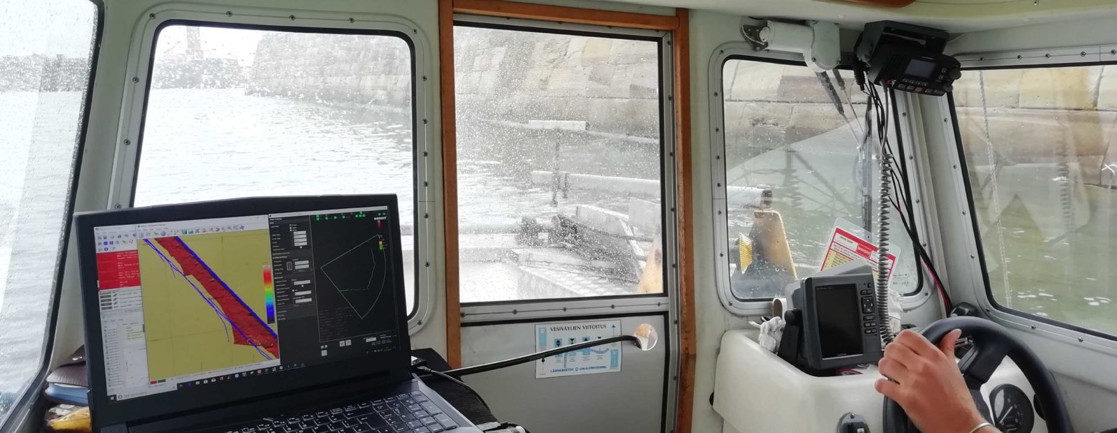
GEOSIGHT managed this by using their survey vessel ‘Bella’; a 5.6m craft with an adjustable tilt to the MBES, to survey over the spring high water. This allowed for an overlap in MBES and laser scan data.
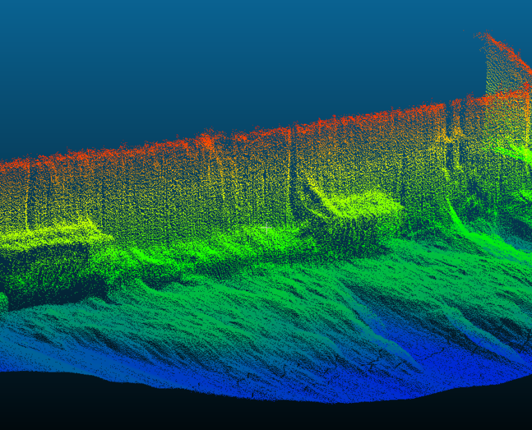
Using a high resolution MBES, GEOSIGHT were able to map the harbour walls with RTK positioning and present the end data as a point cloud, which illustrated the extent of the newly installed tow beams and the existing wall fractures.
Service: Hydrographic Survey
Purpose of Survey: Harbour wall inspection
Client: Port and Harbour Client
Environment: Ports and Harbour survey
Location: United Kingdom
Year: 2019
Timescale: 1 day
Equipment: Norbit iWBMS, POS MV Wavemaster motion and positioning unit, RTCM3 data correction link, Valeport Mini SVS and Mini SVP, QPS QINSy online software, Cloud Compare
Output: e57